To the sources of the Rhine, Reuss, Ticino and Rhone in 5 stages
The Four Headwaters Trail is an alpine long-distance hike of around 85 kilometres, divided into five daily stages, leading to the sources of the four major Swiss rivers: Rhine, Reuss, Ticino and Rhone. The route is well signposted and can be completed as a multi-day hike or in individual stages.Highlights along the route:
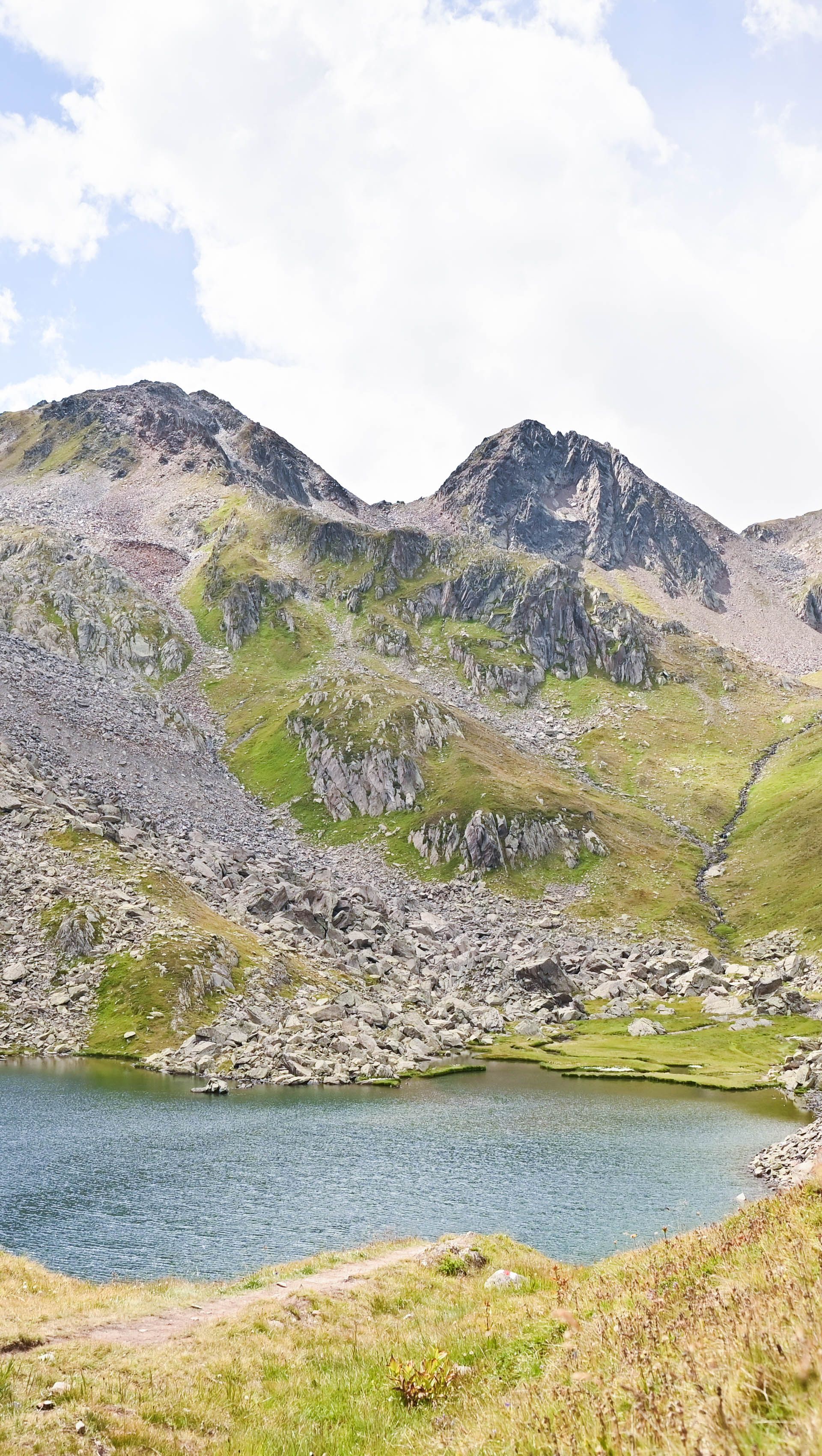
varied landscapes with crystal-clear mountain lakes and bubbling streams
impressive views and immersive nature experiences
diverse flora and fauna
scenic highlights such as Lake Toma at the Oberalp Pass and the Rhone Glacier at the Furka Pass
The five stages
You can find detailed information on the individual stages online or in the brochure.
Stage 1: From the Oberalp Pass to the source of the Rhine
The first stage leads from the Oberalp Pass to the source of the Rhine at Lake Toma, continuing on to the Vermigel Hut. Crossing the Maighel Pass (2,421 m a.s.l.), the highest point of the stage, you reach the idyllic Portgeren Lake, an inviting spot for a first break surrounded by alpine scenery.
Top
Moderate
Four Springs Route: Stage 1 From Oberalppass to the Rhine source
Starting at the Vermigel Hut, this stage climbs to the Piz Giübin (2,776 m a.s.l.), the highest point of the entire Four Headwaters Trail. The summit offers breathtaking panoramic views of the surrounding mountains before the route continues to the historic Gotthard Pass.
Top
Moderate
Four-Sources Route: Stage 2 Over Piz Giübin to Gotthard Pass
Hiking
12.5
km
5:15 h
780 m
832 m
Stage 3: From the Gotthard Pass to the source of the Reuss
The third stage begins at the Gotthard Pass and follows the shore of Lake Lucendro. At the foot of the Lucendro Pass, you reach the source of the Reuss River before crossing the pass. A long and scenic high-level traverse above the Bedretto Valley leads to the Piansecco Hut.
Top
Moderate
Four Sources Route: Stage 3 From Gotthard Pass to the Reuss source
From the Piansecco Hut, the trail heads towards the source of the Ticino River below the Nufenen Pass. After crossing the pass, the highest point of this stage, the route descends through the Ägen Valley to Ulrichen or Obergesteln.
Top
Difficult
Four Sources Trail: Stage 4 To the Ticino Source Area
The final stage leads from Obergesteln via Oberwald, Gletsch and Muttbach up to the Furka Pass. From there, a viewpoint offers spectacular views of the Rhone Glacier. The source of the Rhone can be seen from a distance, marking the impressive conclusion of the hike.
Top
Moderate
Four-Sources Trail: Stage 5 From Obergoms to the Source of the Rhône
Hiking
16.7
km
7:15 h
238 m
1309 m
Frequently asked questions
We generally recommend the numerous huts and inns along the way. Wild camping is permitted by law for one night, provided that the applicable rules are observed. These include, among other things: taking your rubbish with you, not entering private property without permission, and showing consideration for nature and wildlife.
We recommend travelling to Andermatt by public transport and then continuing to the starting point at the Oberalp Pass on the Matterhorn Gotthard Railway. There is also a public transport connection at the end point on the Furka Pass. The Postbus departs from the Furka Belvédère stop. Alternatively, there is an on-call bus service called ‘mybuxi’.
If you arrive by car, you can park it in the 24-hour car park ‘Feldküche’ in Andermatt.
Mobile phone reception is not guaranteed everywhere. In some areas, such as Vermigel, Sella or Piz Giübin, there may be dead spots.
Luggage transport can be booked through the travel provider Eurotrek. The corresponding offer is always linked to overnight stays. Transport directly to the mountain huts is not possible. Further information can be found at Eurotrek.
The Four Headwaters Trail climbs to around 2,780 metres above sea level. The best time for hiking is from early July to around mid-October. However, weather and snow conditions can vary. You can find up-to-date information at vier-quellen-weg.ch. The trail is not accessible in winter.
This content is delivered by a third-party provider that does not allow users to display the content without accepting targeting cookies. In order to access third-party content, please change your cookie settings for targeting cookies to "Active".
Gotthard Crystal Trek
Crystal-clear lakes, alpine stages and impressive panoramas await you.
Reminder sent. Please check your inbox, then log in again.
Reminder not sent. Please try again later, or contact support.
Error accessing server.
Or continue with your email
Personal information
Login credentials
Newsletter & legal information
Please accept the Terms of Use and the Privacy Policy
Your interests
Pick a variety of interests below to get more personalized recommendations by clicking the images. Note that these can be changed at any time later. You may also skip this setup for now.




.jpg?fm=jpg&fl=progressive&f=center&fit=fill&q=45&w=1920 "Vermigelhütte Richtung Sellapass")

.jpg?fm=jpg&fl=progressive&f=center&fit=fill&q=45&w=1920 "See Gotthardpass")


.png?fm=png&f=center&fit=fill&q=45&w=240)